A trek to Everest in Sagarmatha National Park
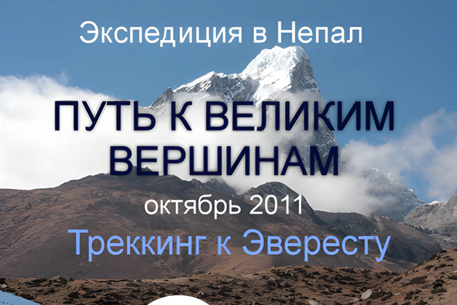
The trek to the base camp of Everest (8850 m) is one of the most interesting and picturesque treks, not only in Nepal but in the whole world. From here you will see breathtaking panoramas of Everest, the Khumbu glacier, the peaks of Lhotse (8501 m), Makalu (8463 m), Cho Oyu (8201 m), Nuptse (7879 m), Pumori (7145 m), Ama Dablam (6856 m) – one of the most beautiful peaks in the Himalayas, and you will also get to know the life of the Sherpas and the Tibetan monasteries.
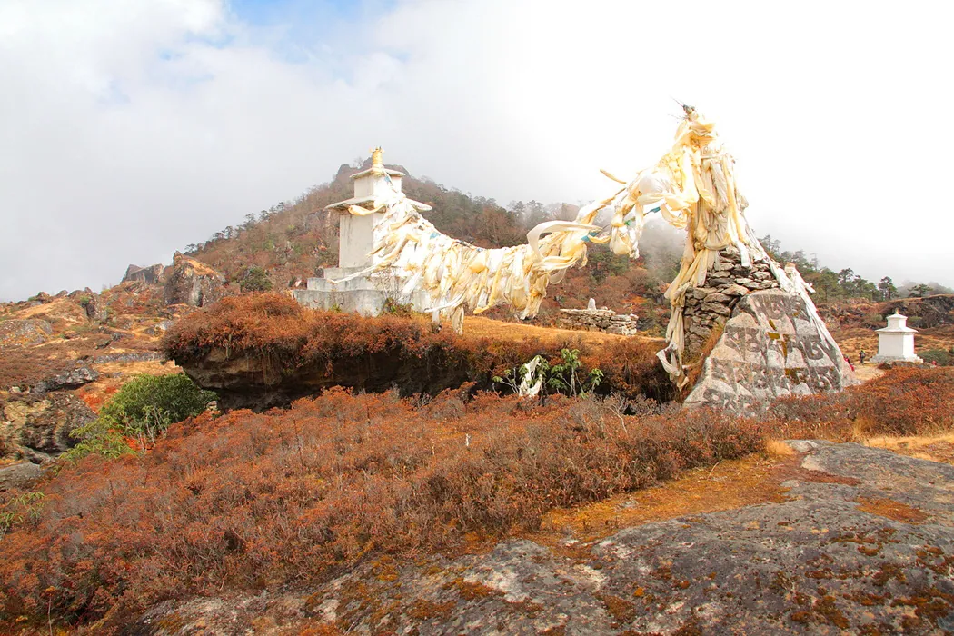
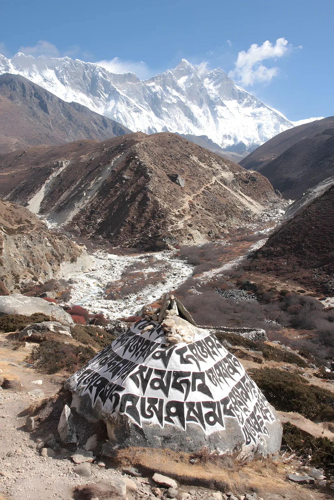
Here at every step you meet stupas, prayer stones, flags and other relics..
All the routes connected with Everest begin in the small village of Lukla, at an altitude of 2,800 metres. From here the way leads to the three gorges of Sagarmatha National Park…
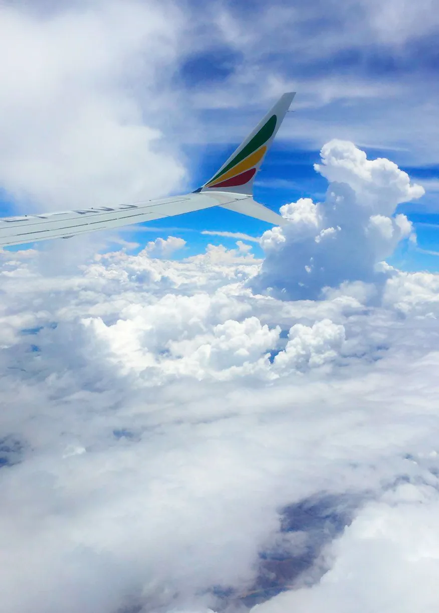
The most popular route follows the same trail by which the first climbers of Everest, Sir Edmund Hillary and the Sherpa Tenzing Norgay, went, and leads us to the summit of Kala Patthar (5545 m), from which there is a wonderful view of Everest from a distance of less than 10 kilometres. When boarding the plane everyone usually tries to sit on the left-hand side, so that on the approach to Lukla (if you are lucky and there is no cloud) you can see a stunning panorama of the Himalayas.
In Lukla you find yourself in the land of the Sherpas. In the little shops here you can buy any small things you have forgotten and hire a porter for a few days. In a week the trail will take you from 2800 to 5600 metres.
Khumbu – that is what this region is called – will change your idea not only of the world, but of your life…
The expedition is led by:
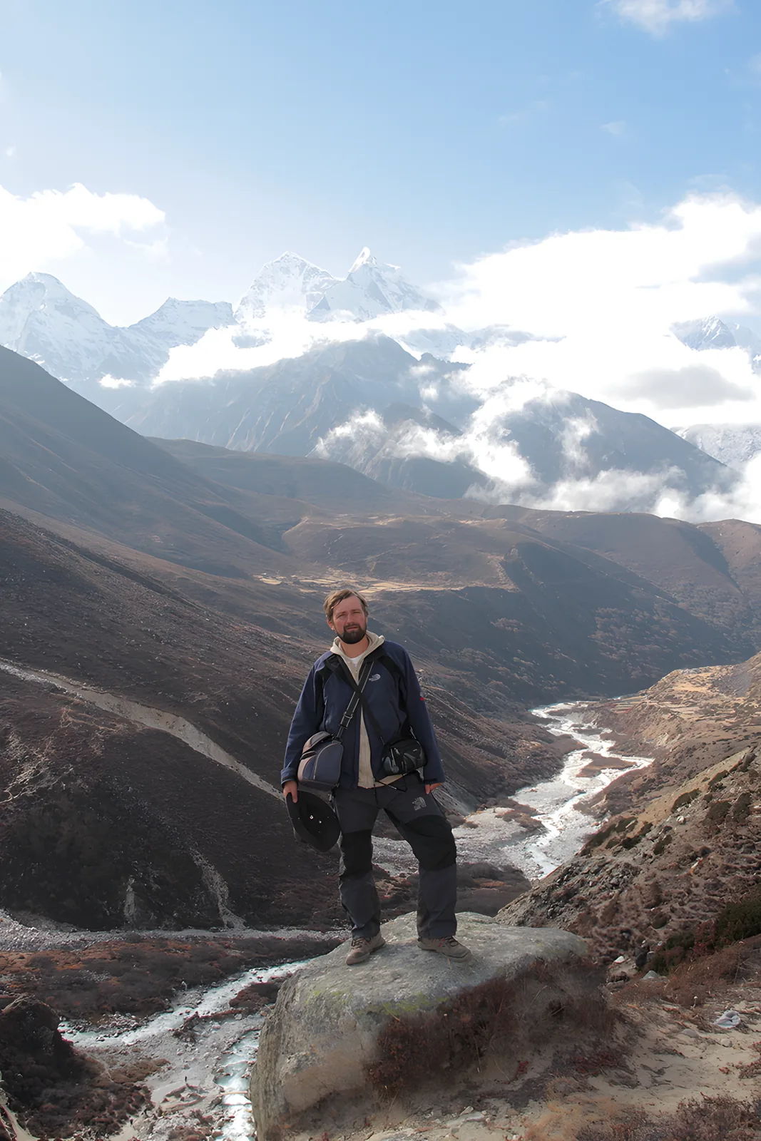
Yuri Birukov – a well-known Belarusian photographer, traveller, mountaineer, active-tourism guide of the Russian travellers’ club “Club-Miry”. A guide in Central and South-East Asia and South America.
http://yury-birukov.livejournal.com
Natalia Valitskaya – a speaker on Ukrainian television, on the channels INTER, STB and K-1, an expert on psychology and ethnic spiritual traditions.
Leader of seminars and trainings, organiser of extreme laboratories, evolutionary psychologist, and yoga teacher.
The programme of the journey:
Day 01. Arrival in Kathmandu. Thamel. Durbar Square.
Day 02. Kathmandu on foot and by bus: the stupas of Swayambhunath and Boudhanath,
the Pashupatinath complex, the city of Bhaktapur or Patan.
Day 03. Flight Kathmandu – Lukla (2800 m). Hike to Phakding (2650 m). We take on Sherpas and begin the trek. Route: Phakding (2652 m – height above sea level, trek time – about 2 hours) – Jorsale (2800 m, about 4 hours).
The road leads us through a narrow strip of forest, then descends steeply to the river. Passing the peak of Kusum Kangru (6367 m) and rounding the Gat ridge (2550 m), the road brings us to the village of Phakding, which lies on both banks of the river. Flowering rhododendrons and magnolias give way to cedars and pines. It gets cooler, and the wind tears the clouds off the snowy summits.
Further on we meet “talking” stones. Sacred Tibetan texts are carved on their smooth surface. The stones of faith near the monasteries that we sometimes come across on our way are especially impressive.
The monks paint the inscriptions on the stones in bright colours, and beside them they put up bamboo poles with prayer flags.
Day 04. Hike to Namche Bazaar (3440 m) – the main settlement of the land of the Sherpas (about 5.5 hours in all). On this day you can see Everest from the trail for the first time. It runs along the mountain river Dudh Kosi, which we cross several times on bridges hanging over the gorge. In both directions move caravans of yaks, tourists, porters with loads.
Having passed the valley at the foot of the peak of Thamserku and a stream, the trail brings us to the village of Monjo. From here begins the territory of Sagarmatha (Everest) National Park. Having passed the village, just beyond the forest the way brings us to the place where two rivers meet. Climbing up a steep ridge, you can admire the view of Everest, rising behind the Nuptse ridge.
Then the road brings us to Namche Bazaar. A tour of the Buddhist temples, a visit to a viewpoint with a magnificent view of the gorge of the Bote Koshi river. The village has many little shops selling trekking equipment, souvenirs and food.
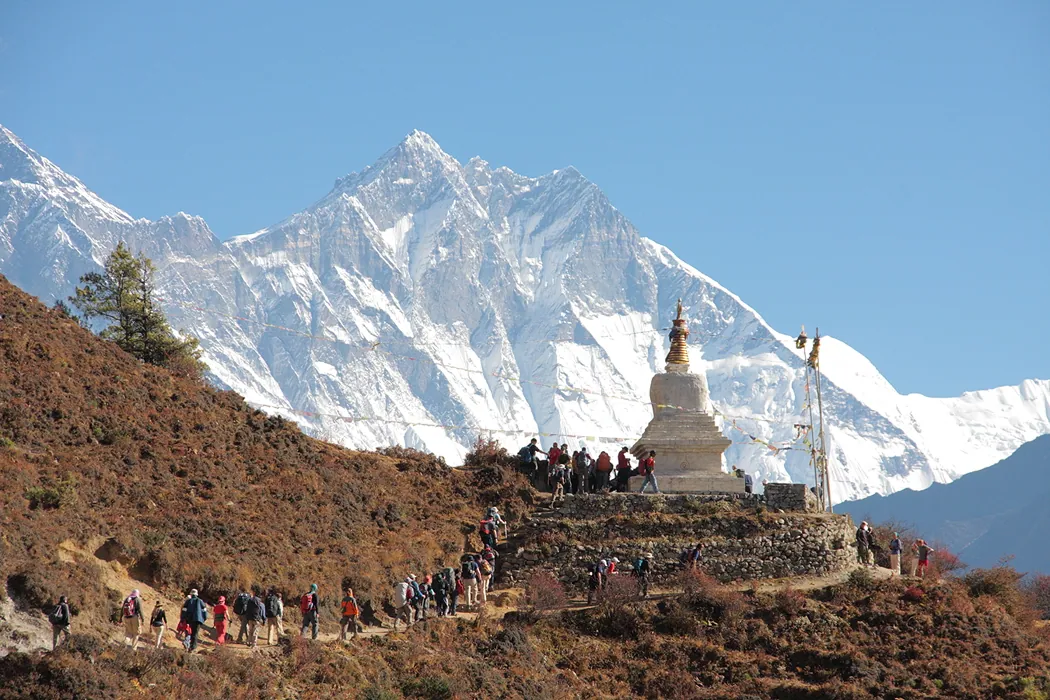
Day 05. Acclimatisation. A radial outing to the “Everest View” hotel (3830 m), from which a magnificent view opens of the peaks: Everest, Nuptse, Lhotse, Peak 38,
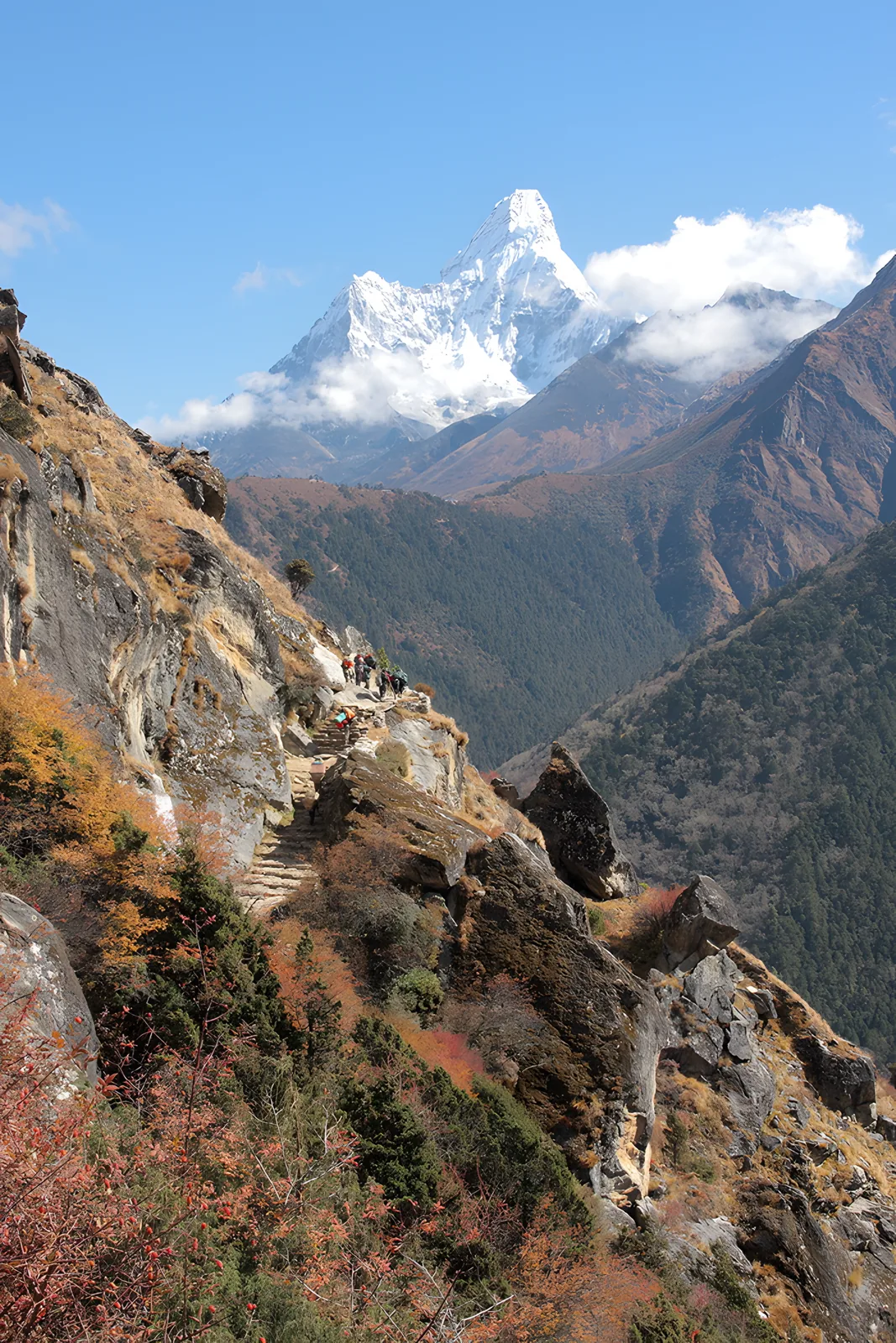
Ama Dablam.
A short hike to the village of Khumjung, a visit to the Buddhist monastery where the greatest relic is kept – the scalp of the Yeti. Return to Namche Bazaar.
Day 06. Hike to Tengboche (3900 m). The first climber of Everest, Sir E. Hillary, wrote this about this section of the trail: “there are perhaps few places in the world more beautiful than the trail from Namche Bazaar to Tengboche”. Although it is a hard hike, with a descent of a kilometre down and a climb of a kilometre up.
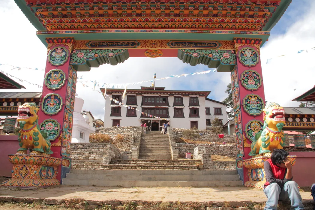
The amazing monastery in the village is known far beyond the region. In the evening (or the next morning) a visit to the monastery during a service. Tengboche Monastery is one of the highest-altitude abodes in the world, the main monastery of the Sherpas of the Nyingma school of Tibetan Buddhism. It was built on a large level site on the shoulder of a high mountain ridge (at an altitude of 3867 metres above sea level), and its name is translated as “Big Plain” or “Sacred Hollow”. From here there is a view of the most beautiful Himalayan peak, Ama Dablam (6586 m), the snow-white wall of Lhotse (8511 m) and the rocky pyramid of Everest.
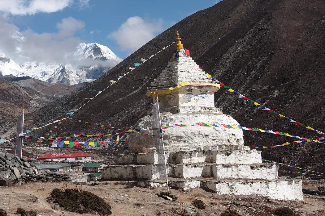
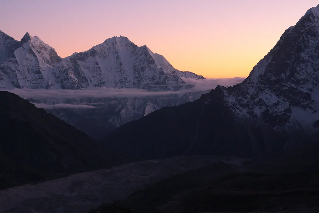
Day 07. Hike to Dingboche (4340 m). The trail climbs up the Imja Khola river to the confluence of the Imja Khola and Labuche Khola rivers. To the right, as you go, a gorge leads off under the south wall of the eight-thousander Lhodze (8511 m). All day there are magnificent views of the snowy peaks of the surrounding summits, among which the ice tooth of Ama Dablam stands out. In the meadows of Periche you can meet one of the rarest species of Apollo butterfly.
Day 08-09. Acclimatisation. A chance to make a hike to the base camp (5600 m) and to climb Island Peak (6189 m). From here there is a wonderful close-up view of Lhotse, Nuptse and other peaks.
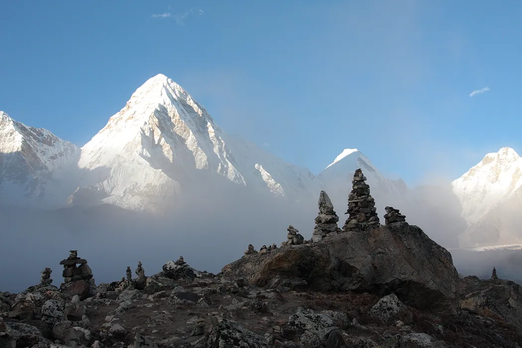
Day 10. Hike to Gorak Shep (5184 m). A few hours from Dingboche the trail climbs onto the moraine of the Khumbu glacier, creeping down the slopes of Everest, and goes along its right-hand edge all the way to Gorak Shep. The snow cone of Pumori appears, to the south of which lies Kala Patthar.
An easy hour-and-a-half climb of Kala Patthar, from which opens the most beautiful view of Everest (8848 m) from a distance of less than 10 km. Nearby are the peaks of Nuptse, Lhotse, Pumori and others.
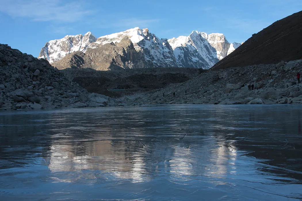
Day 11. An early, pre-dawn radial outing to Everest Base Camp and a hike to Dzongla.
Day 12.
A hike over the Cho La pass (5368 m) into the Gokyo valley, to the village of Dragnag.
Day 13. A hike to the village of Gokyo on the shore of Lake Dudh Pokhari and a climb of Gokyo Ri (5357 m), 2 hours to the summit, from which, to the north-west of Gokyo, opens one of the best views of Everest and other eight-thousanders, of the glaciers flowing down and of lakes of stunning beauty.
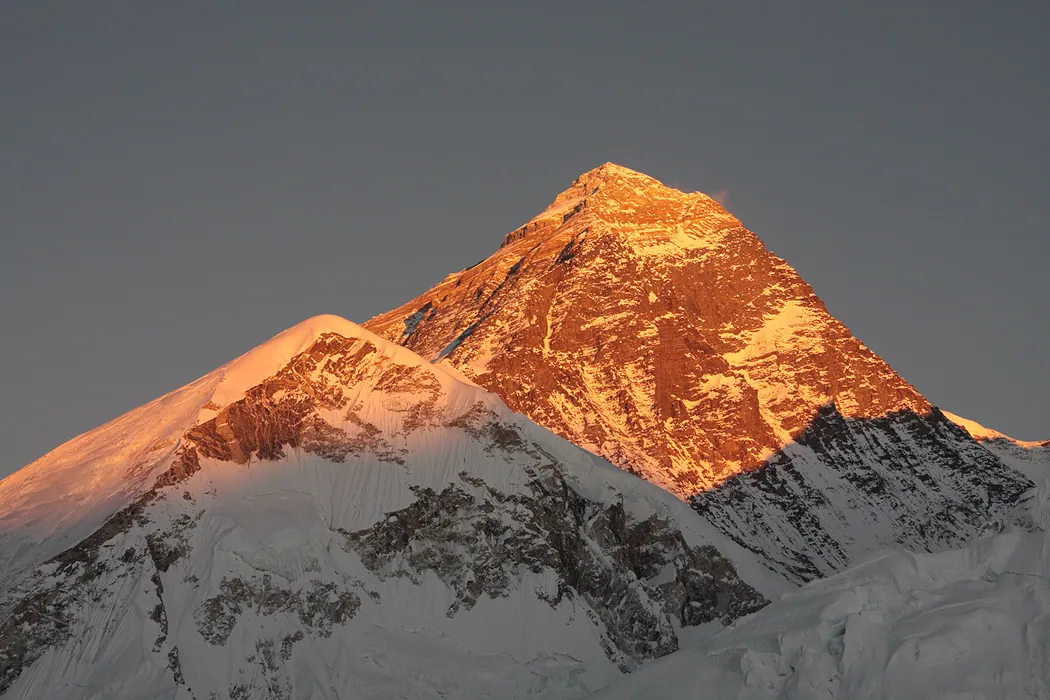
Day 14. A radial outing to the fourth (Thonak) and fifth (Ngozumba) glacial lakes of the Gokyo valley, a climb of Nameless Tower (5600 m) – the best viewpoint in the Khumbu area. The stunning massifs of Everest, Cho Oyu, Makalu and Lhotse, and the glaciers spreading out below will appear before our eyes.
Day 15. Descent to the village of Phortse. On the way we pass Machermo – a place connected with the most scandalous story of the Yeti (the Snowman), who killed three yaks and attacked a Sherpa woman. So be careful!
Then a hike to Dole, the place of the holy Mani stones. You can make a radial outing to a freezing waterfall at the head of a side valley, where you can watch cascades of giant icicles. The trail runs high above the Imja Khola river. Above and below the trail herds of yaks can be seen. In the rhododendron forests, coloured with bright pink and scarlet flowers, you can meet deer and coloured pheasants (the national bird of Nepal).
Day 16.
A hike to Namche Bazaar (3450 m, 5 hours). The day will begin with a long climb to Monga. From here the return trail branches off to the right and upwards and leads, by picturesque but very steep stairways, to Khumjung, a large Sherpa village which has the longest Mani wall and a school built by Sir Edmund Hillary. A descent to Namche, where a real hotel and a hot shower await us!
Day 17.
Lukla (2700 m, 7-8 hours). A fairly long descent down a picturesque valley to Lukla, where everyone tries to get on a plane flying out to Kathmandu.
Day 18. Flight from Lukla to Kathmandu. A free evening in Thamel.
Day 19. Transfer to the village of Nagarkot, from which opens a stunning view of the Himalayas from Dhaulagiri to Everest. An early start and greeting the sunrise over the Himalayas.
Day 20. Free time in Kathmandu.
Day 21. Flight to Kyiv.
DATES OF THE EXPEDITION: 7-28 October 2011
Attention!!! The route may change depending on weather conditions.
The preparation for the big mountains took place in the technically more difficult winter Carpathians, the February Retreat 2011, led by Sergei Kryzhanovsky
Contacts:
+38(095)8240479
+38(068)3574919
+38(096)3377199
+38(050)013668
liogrita@gmail.com, vedja@i.ua
birukov2001@mail.ru